GeoChart
- Category
- Programming
- ActiveX
- Developer: VDS Technologies
- Home page: www.vdstech.com
- License type: Commercial
- Size: 1.62 MB
- Download
Review
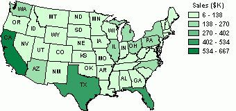
GeoChart is an ActiveX component designed especially for embedding map data access, display and analysis capabilities in applications. GeoChart enables applications to present numerical data more effectively. GeoChart gives you the following possibilities: 1) chart sales data such as sales over a country, region, state, province or county as well as all over the world; 2) chart demographic data such as households, population; 3) chart Web site visitors statistics (by a country, region, state etc.); 4) chart weather, meteorology, geological data such as temperature, earthquakes, tornados and so on; 5) chart various numeric data such as number of customers by a region, election results, criminal activity, various industrial and economic indices.