ESurvey KML
- Category
- Programming
- Setup Utilities
- Developer: ESurveying Softech (India) Pvt. Ltd
- Home page: www.esurveying.net
- License type: Commercial
- Size: 19.71 MB
- Download
Review
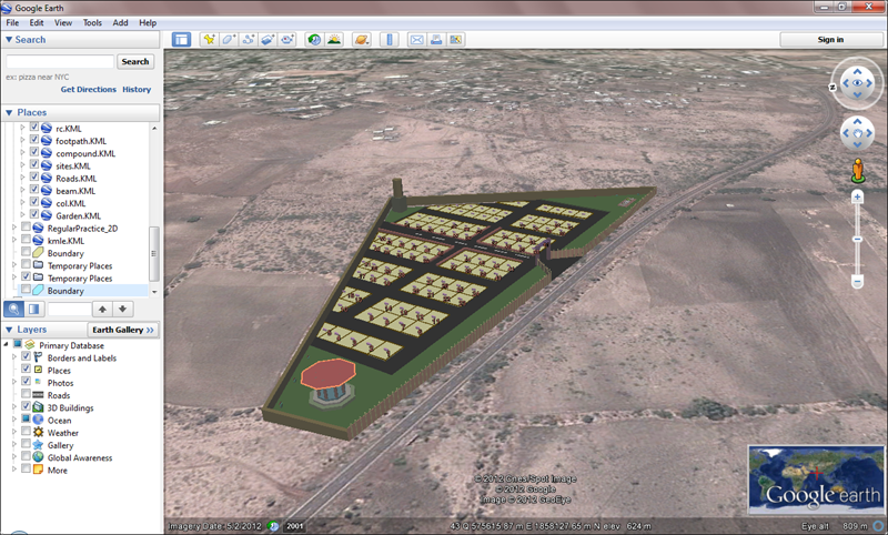
ESurvey KML (Export) - Export your CAD Drawing to Google Earth readable format (KML File) ESurvey KML (Import) - Import traced Lines and Polygon information from Google Earth KML File to your CAD Package Features: Export CAD Drawing to KML File (Point (Place Marker), Text, Line, Pline (Path), Polygon) Import KML File data as CAD Drawing (Point (Place Maker), Text, Line, Pline (Path), Polygon) Convert UTM Coordinate to Lat Long Convert Lat Long Coordinate to UTM Find Lat long of a Point with in your CAD Editor Benefits: Present your Drawing data on Google Earth and Impress your Customers Cross Check Survey Data with Google Earth Data to Ensure accuracy Import Available Data from KML File and avoid retracing